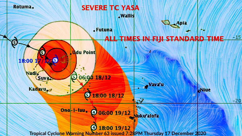
![Tropical Cyclone Warning Number 61 issued 0420 UTC Thursday 17 December 2020 [Image: Fiji Meterological Services]](https://www.fijivillage.com/news_images/9476816075fdade7668872f021998c.jpg)
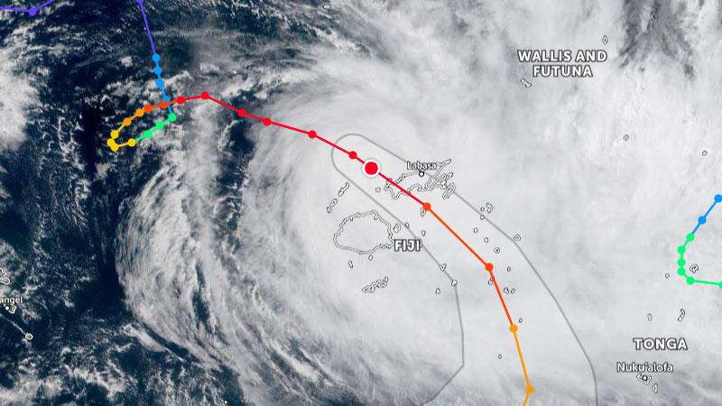
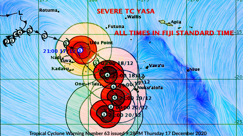
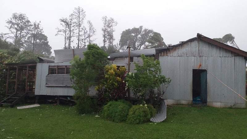
The Nadi Weather Office says the centre of Severe Tropical Cyclone Yasa is expected to make landfall over the province of Bua at 8pm tonight.
Yasa’s centre is expected to be located about 90 kilometres West South West of Labasa this evening.
Cyclone Yasa is located about 140 kilometres West North West of Labasa.
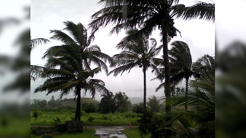
Close to its centre the cyclone is expected to have very destructive winds upto 240 kilometres per hour with momentary gusts to 345 kilometres per hour.
The cyclone is moving East South East at about 24 kilometres per hour.
A hurricane warning remains in force for Yasawa group, Northern and Eastern half of Viti Levu (from Tavua to Rakiraki to Korovou, through to Suva to Navua), Vanua Levu and nearby smaller islands including Yadua, Galoa, Kia and Mali, Taveuni and nearby smaller islands, Matuku, Moala, Totoya and Lomaiviti group.
A storm warning remains in force for Mamanuca group, the rest of Viti Levu, Cikobia and the rest of Lau group.
A gale warning remains in force for Rotuma, Kadavu and nearby smaller islands.
A storm surge and damaging heavy swell warning remains in force for coastal waters of Rotuma, Yasawa and Mamanuca group, Viti Levu, Vanua Levu and nearby smaller islands, Taveuni and nearby smaller islands, :Lomaiviti and Lau group.
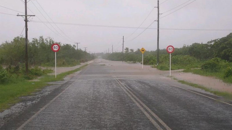
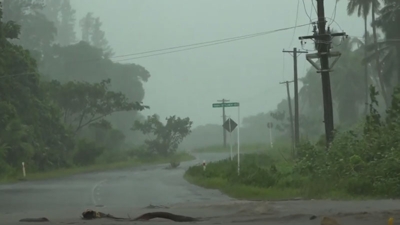
A heavy rain warning remains in force for the whole of Fiji.
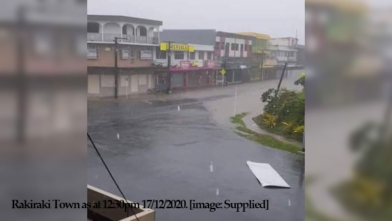
A severe flood warning is in force for low lying areas and areas adjacent to Vatukacevaceva and downstream of Rakiraki Town.
A flash flood warning remains in force for the low lying areas and areas adjacent to small streams for Viti Levu and Vanua Levu, areas adjacent to Dreketilailai to Qawa River, low lying areas and areas adjacent to Bagata River in Savusavu.
A flash flood alert remain in force for low lying areas and areas adjacent to major rivers for Viti Levu and Vanua Levu.
At 8am tomorrow, the centre of Yasa is expected to be about 165 kilometres East of Suva.
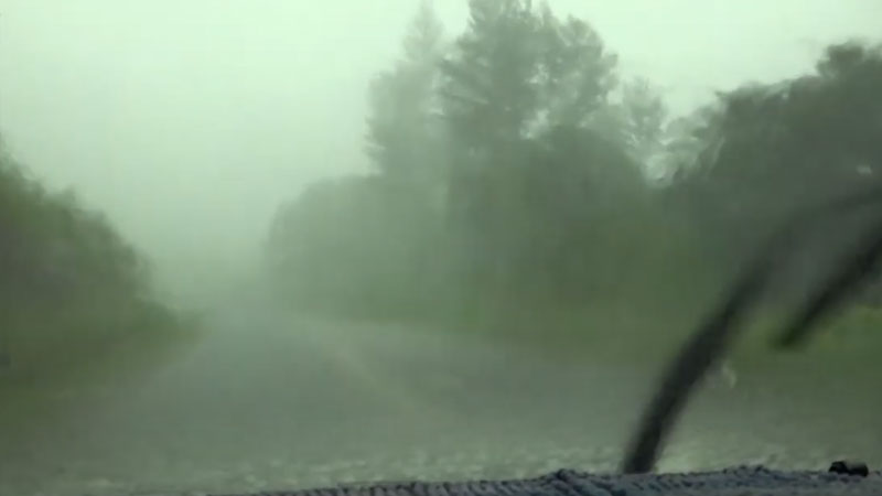
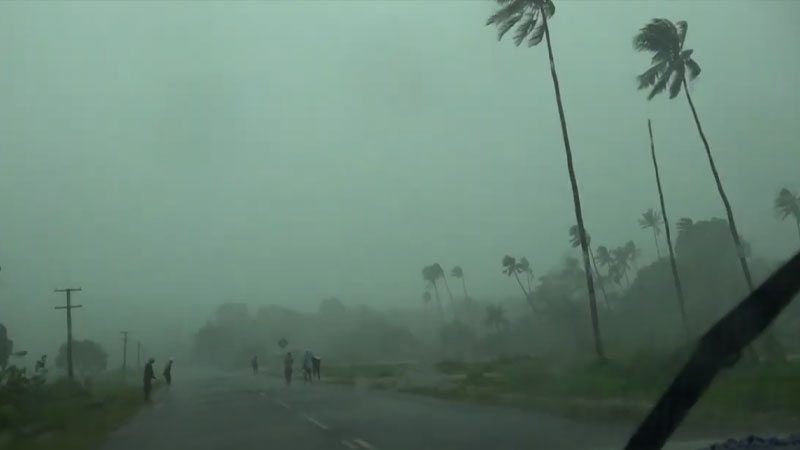
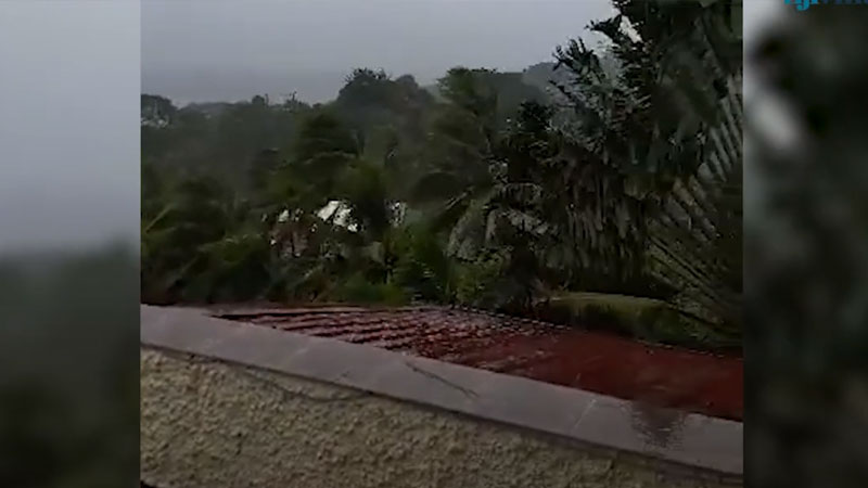
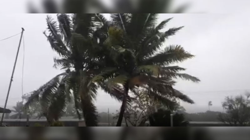
Destructive winds are expected this afternoon, tonight into tomorrow before the cyclone centre passes overhead or nearby.
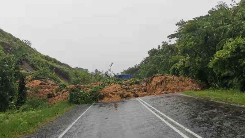
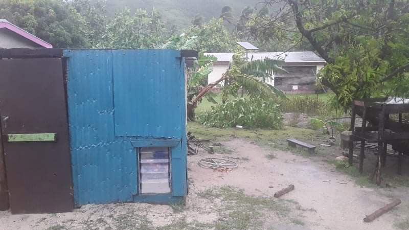
Expect very destructive hurricane force winds upto 240 kilometres per hour with momentary gusts upto 345 kilometres per hour, periods of heavy rain and squally thunderstorms, flash flooding of low lying areas expected, landslides likely especially with continuous heavy falls, phenomenal seas and damaging heavy swells.
Storm surge with sea flooding of low lying coastal areas expected during high tides, with storm surge heights up to 3 metres expected along the coast when the cyclone centre passes nearby.
Related stories;