A Tropical Cyclone Warning is now in force for Fiji.
Acting Director of the Nadi Weather Office, Terry Atalifo says people should prepare for damaging winds, flash flooding and sea flooding.
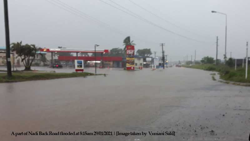
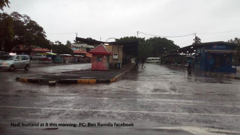
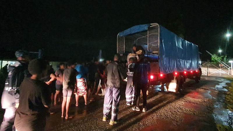
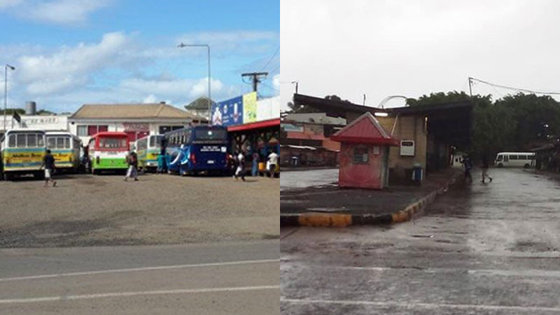
Flooding is the immediate concern as a flash flood warning remains in force for all low lying areas and small streams near major rivers in Vanua Levu and Viti Levu.
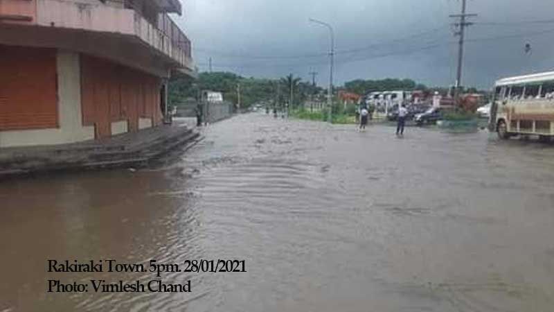
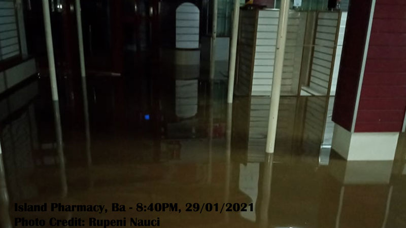
If you are living near Labasa River, Qawa River - Vunivau stretch toward Vunika flat, Soasoa flat, Korotari flat in the North, and Nakauvadra River from Vatukacevaceva to Rakiraki Town, low lying areas along FSC Road, Tavua at Nasivi, low lying areas along with Ba FSC, low lying areas and areas adjacent to Navala River and Toge River, low lying areas and small streams for Keyasi River down to Sigatoka River and low lying areas and areas adjacent to Nadi Bridge – please take all the necessary precautions as your area can get flooded.
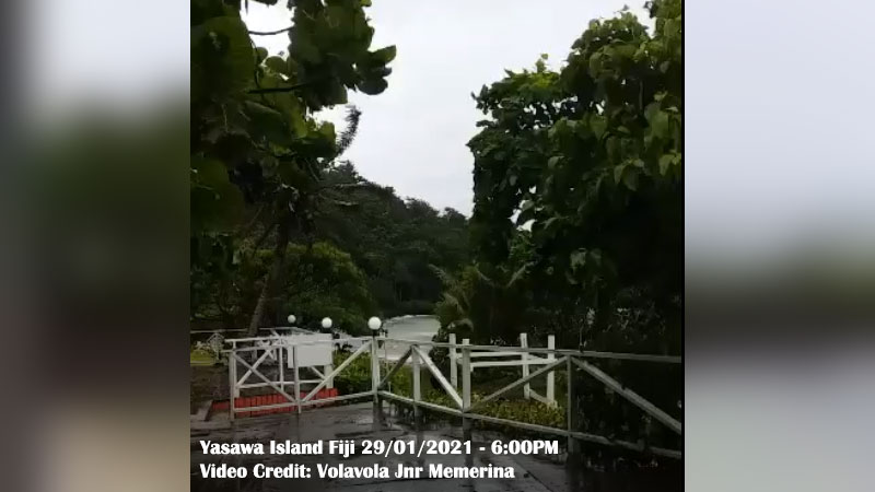
Expect damaging winds if you live in Vanua Levu, Taveuni and nearby smaller islands and Yasawa Group.
A strong wind warning remains in force for Viti Levu, Mamanuca Group, Kadavu and Lomaiviti Group.
A heavy rain warning remains in force for Northern Viti Levu which is from Lautoka to Rakiraki, Vanua Levu, Taveuni and nearby smaller islands, Yasawa, Lau Group and is now in force for the rest of Fiji.
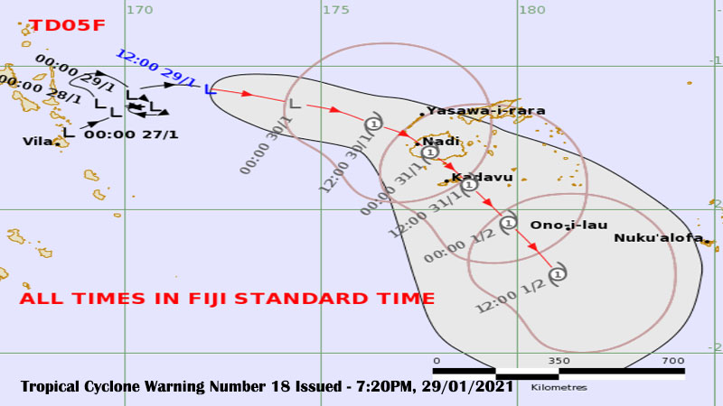
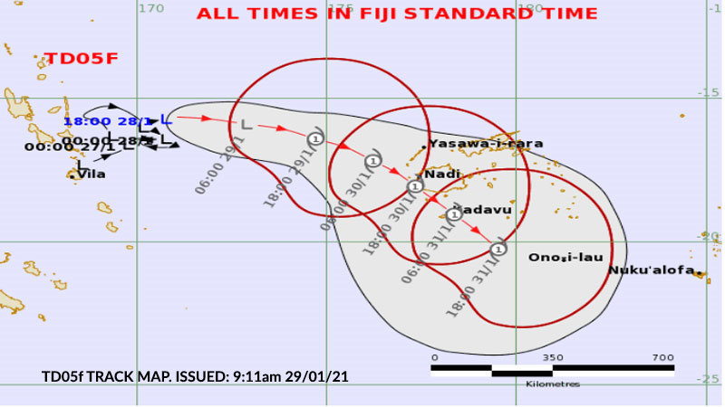
Tropical Depression 05F is located East of Vanuatu or about 780 kilometres West North West of Nadi. It is currently slow-moving and is expected to track East then South East towards Fiji in the next 24 to 48 hours.
TD05F has a very high potential to intensify into a cyclone in the next 24 hours to 48 hours.
The associated active trough of low pressure with active rainbands and strong to damaging winds will affect us.
Expect the weather to worsen later today and there are forecasts that the Tropical Depression could become a cyclone as early as this afternoon.
Stay with us as we will keep you informed.