![TC Mal THREAT TRACK MAP as at 10:56PM | 14/11/2023 [Source: Fiji MET Office]](https://www.fijivillage.com/news_images/457854079655353785174888eda960.jpg)
As Tropical Cyclone Mal has now entered the Fiji Group, a Storm Warning is in force for Yasawa and Mamanuca Groups, Western and Southern Viti Levu, Vatulele, Kadavu and nearby smaller islands.
TC Mal is also likely to intensify into a category 3 system later tonight.
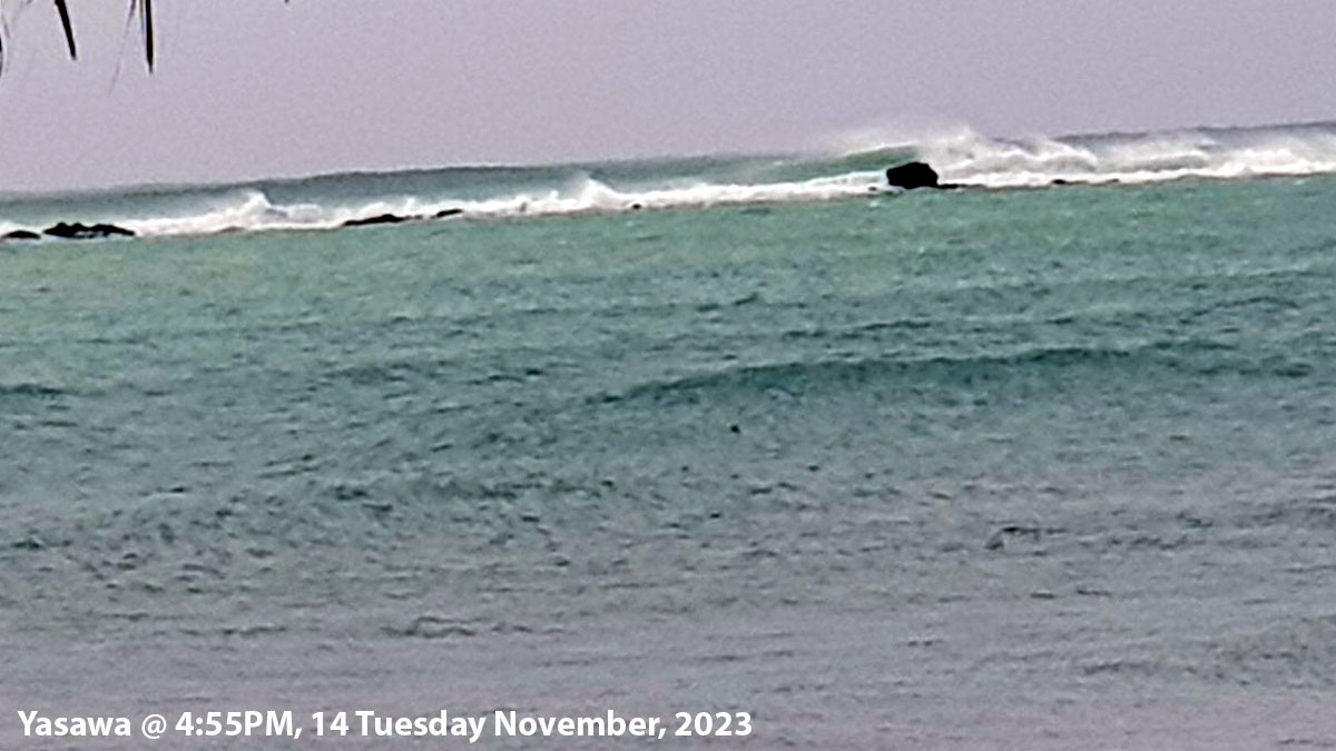
It was located 230 kilometres west of Yasawa or 240 kilometres west-northwest of Nadi at 9pm.
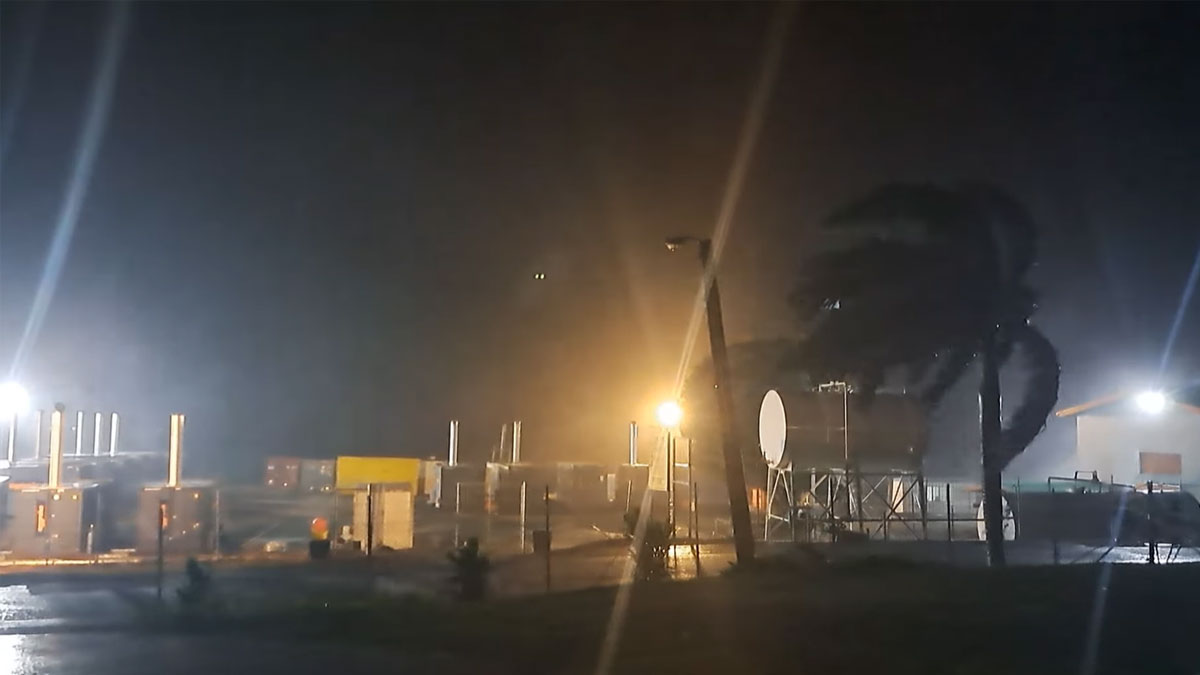
Yasawa is currently experiencing sustained winds of around 65 kilometres per hour and gusts of around 80 kilometres per hour.
The Nadi Weather Office says a Gale Warning remains in force for Rotuma, western half of Vanua Levu [Dreketi, Bua to Savusavu], Eastern Viti Levu and Lomaiviti Group.
A Strong Wind Warning remains in force for the rest of Fiji.
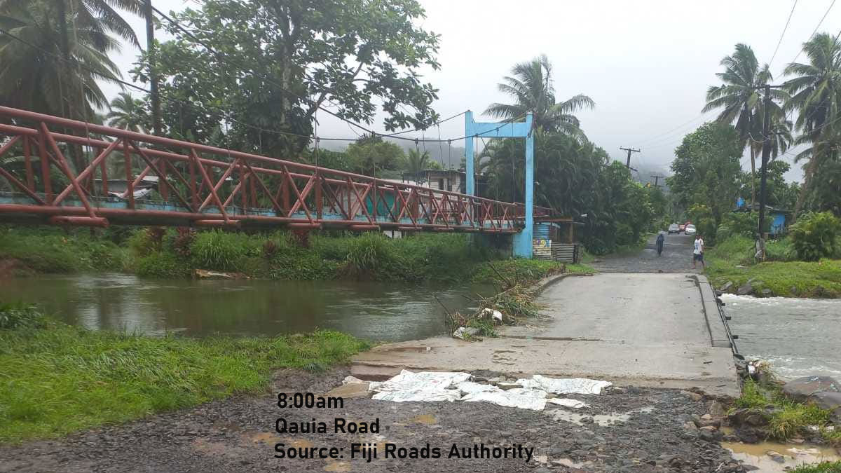
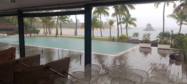
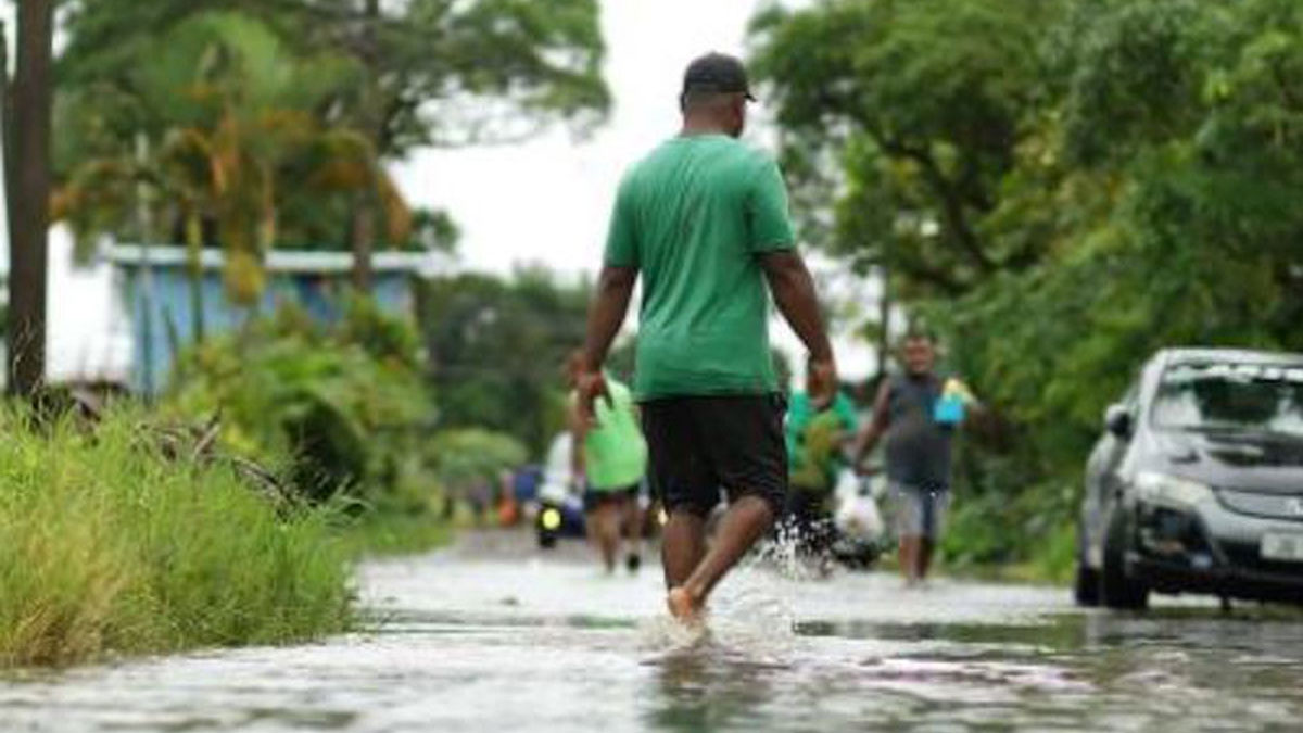
A Heavy Rain Warning remains in force for the whole of Fiji. A Flash Flood Alert is in force for flood prone, small streams and low-lying areas across Viti Levu.
The centre of Category 2 Tropical Cyclone Mal is located about 230 kilometres west of Yasawa or about 240km west-northwest of Nadi at 9pm.
TC Mal has maximum winds of 110 kilometres per hour, gusting to 155 kilometres per hour, increasing to 120 kilometres per hour, gusting to 170 kilometres per hour by midnight tonight.
The system is moving southeast at 29 kilometres per hour and approaching the Fiji waters.
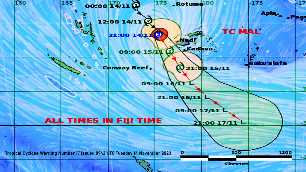
At around midnight tonight, TC Mal is expected to be located about 220 kilometres west-southwest of Yasawa-i-Rara or about 200 kilometres west-northwest of Nadi.
Gale force winds with speeds of 65 kilometres per hour and gusts up to 90 kilometres per hour is expected from this evening over Yasawa and Mamanuca Groups, and from later this evening or tonight over Western, Northern and Southern Viti Levu, Vatulele, Kadavu and nearby smaller islands.
The intensity of the winds is expected to further increase to storm force with speeds of 95 kilometres per hour and gusts up to 130 kilometres per hour from tonight.
For the western half of Vanua Levu [Dreketi, Bua to Savusavu], Eastern Viti Levu and Lomaiviti Group, expect gale force winds with speeds of 85 kilometres per hour and gusts up to 120 kilometres per hour from this evening or later at night.
For the rest of the Fiji Group, gale force winds are expected with speeds of 55 kilometres per hour and gusts up to 80 kilometres per hour from tonight.
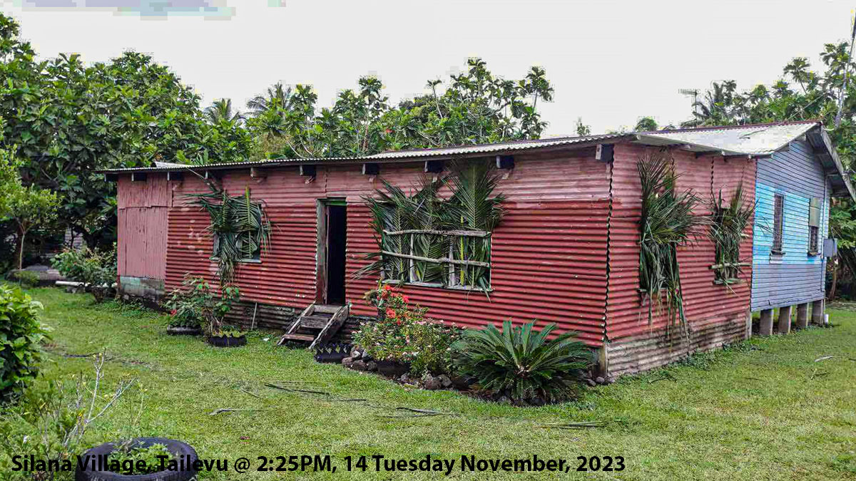
Gale force winds can cause significant damage to houses of very light materials and old galvanized iron roofs can be blown off.
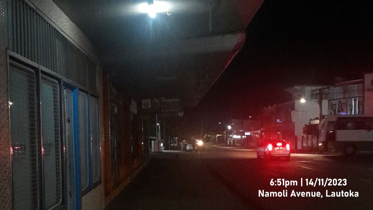
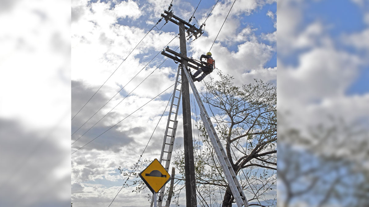
It is likely to cause disruption in communication networks and power supply due to damaged power lines, and small trees, most plants and crops are expected to be damaged and downed.
Storm force winds can damage weakly constructed houses and old residential structures. It can also break large trees which may consequently block roads and affect transport routes.
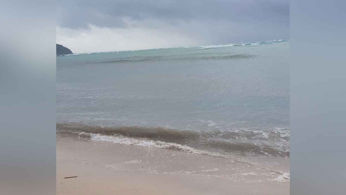
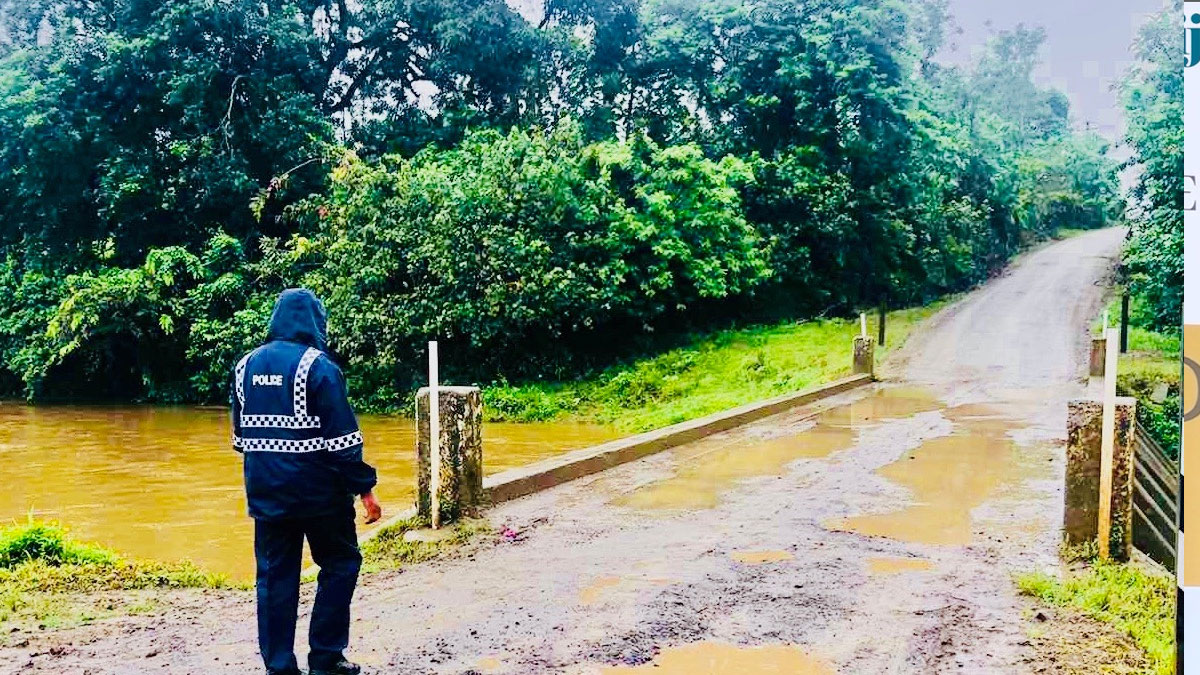
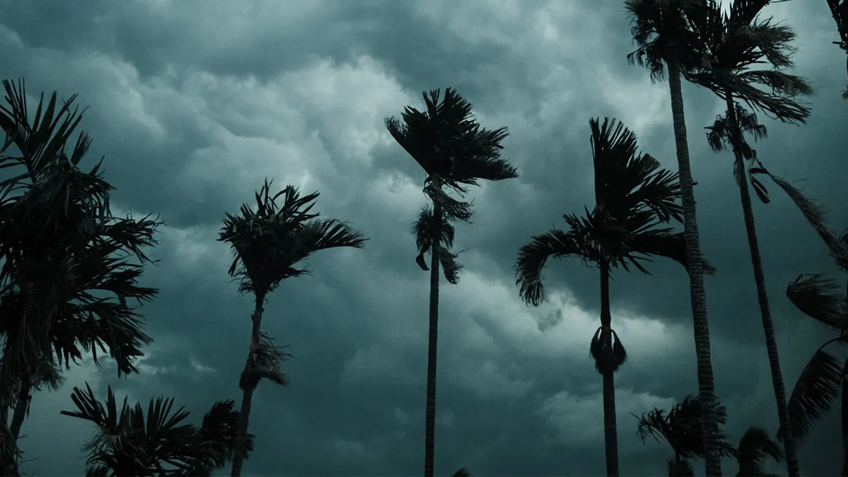
Meanwhile, heavy rain and thunderstorms is expected to continue over most parts of the Fiji group.
This will cause localised flooding of low-lying and flood prone areas, localised flooding of minor roads, Irish crossings and bridges which may disrupt traffic flow, and poor visibility out at sea and on land with increased risk of motor vehicle accidents due to slippery roads.
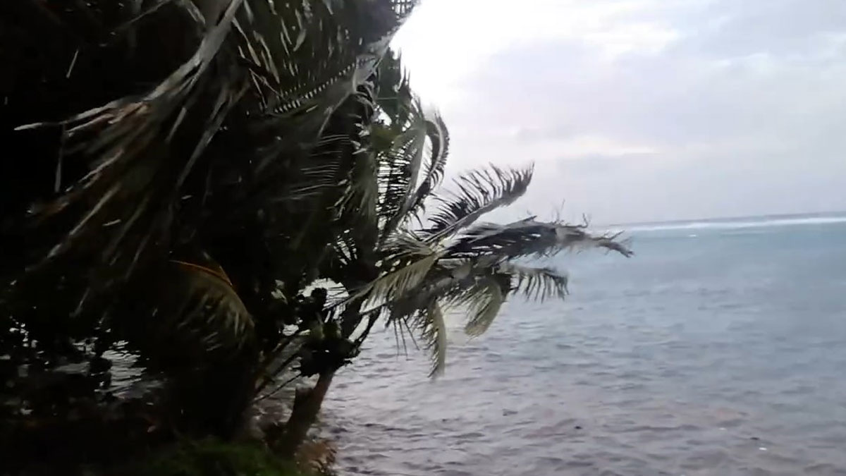
Mariners and seafearers are advised of increased risk for sea travel for all types of sea crafts due to gale and storm force winds over Fiji Waters.
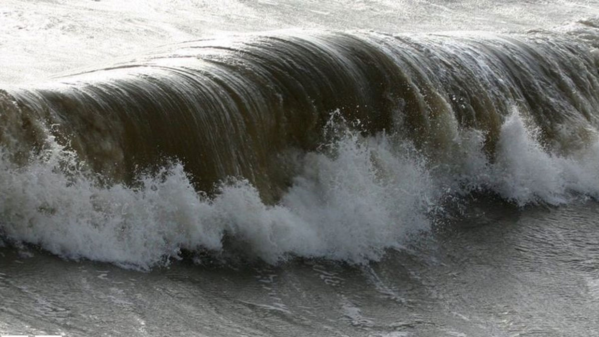
Hazardous breaking waves and coastal inundation of debris is expected along low-lying coastal areas, especially during high tides.
The Weather Office says the impact of TC Mal should gradually ease from later tomorrow.