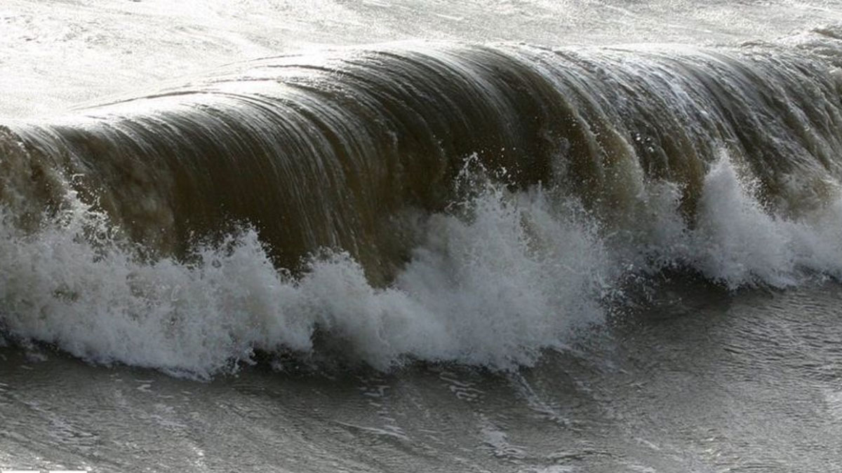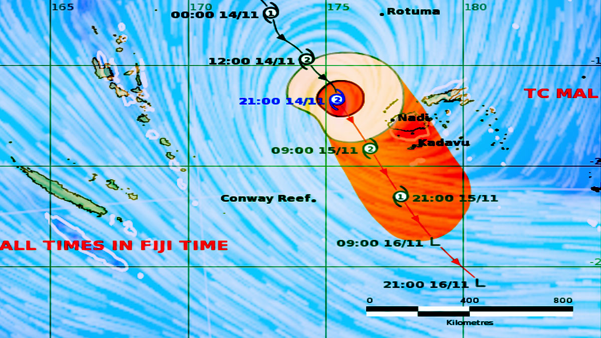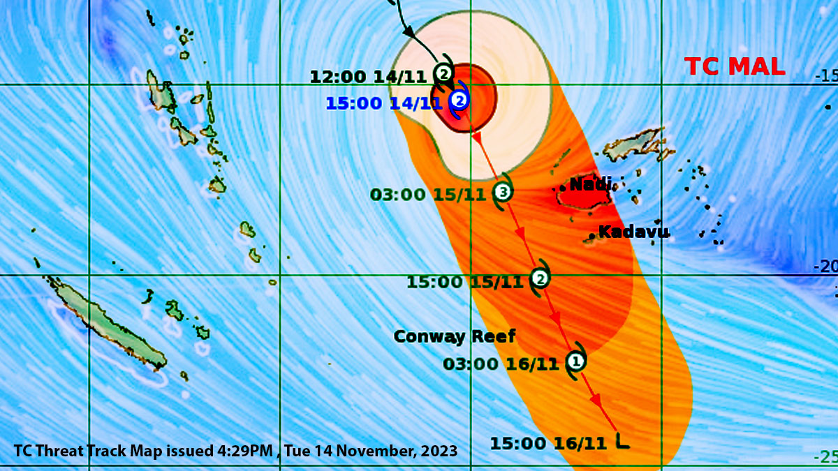
Tropical Cyclone Mal is likely to intensify into a Category 3 system as it approaches the Fiji Group tonight.
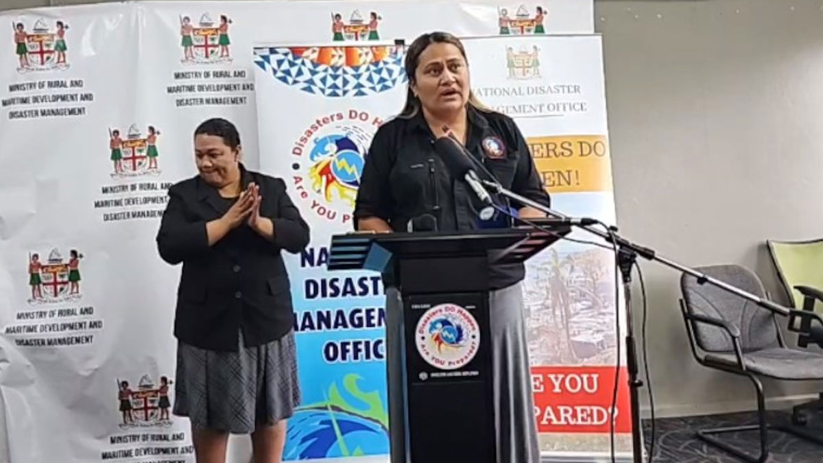
Acting Director of the Nadi Weather Office, Bipen Prakash says people should be prepare for destructive category 3 winds.
He says if the system moves closer to the land areas in comparison to the current expected path, hurricane force winds can also be experienced over the land areas.

TC Forecast Track Map as of 4:01PM Photo:Fiji Met
Please note damaging winds and cyclone impacts can begin several hours prior to the cyclone centre passes over or nearby.
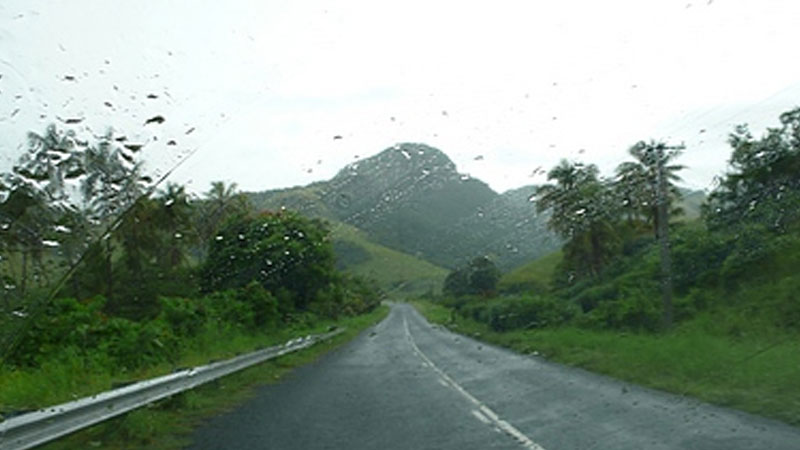
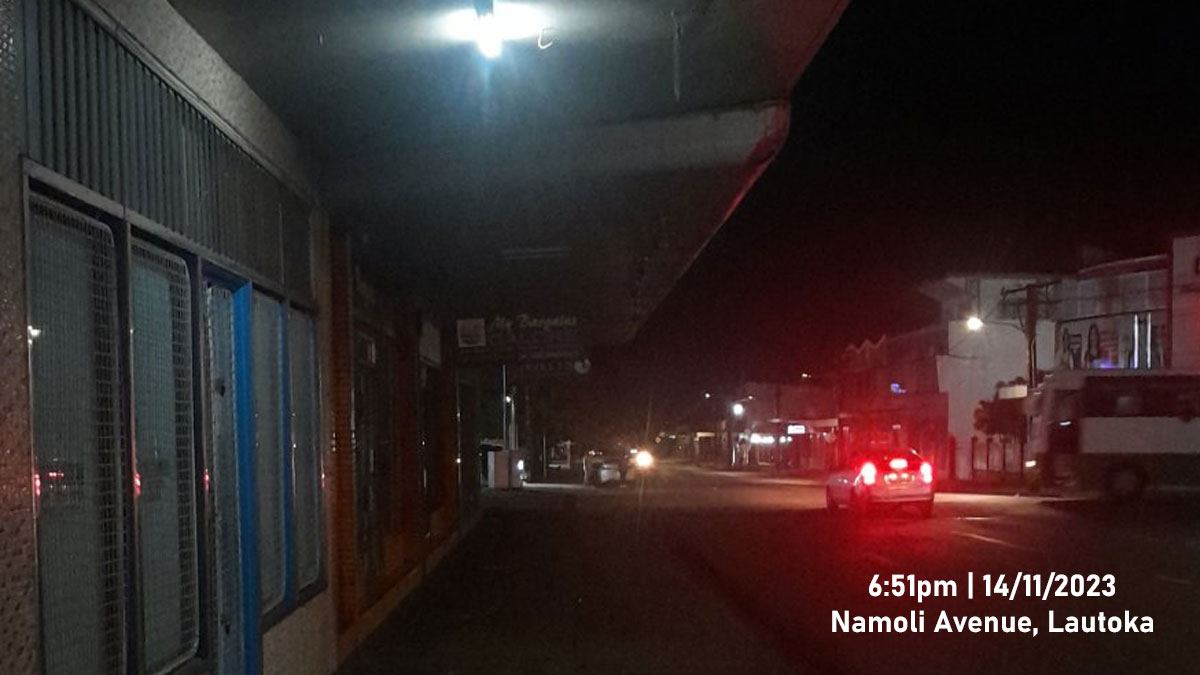
Secure your homes and properties and know your evacuation centres.
Move now while it is still daylight if you are living in a vulnerable area.
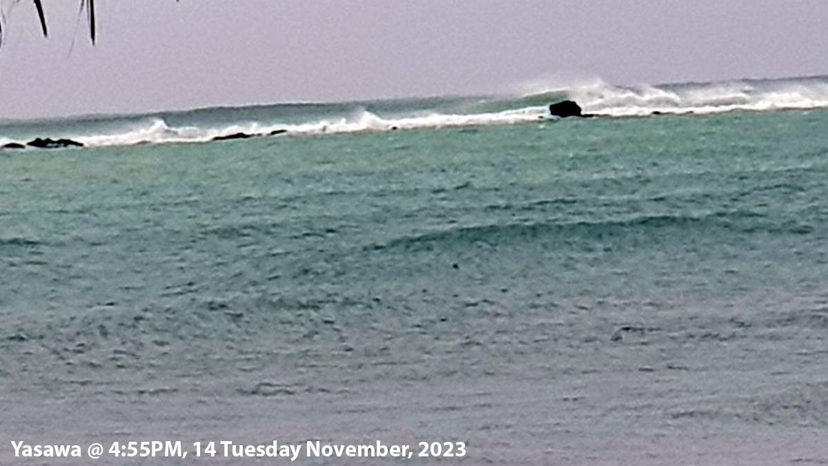
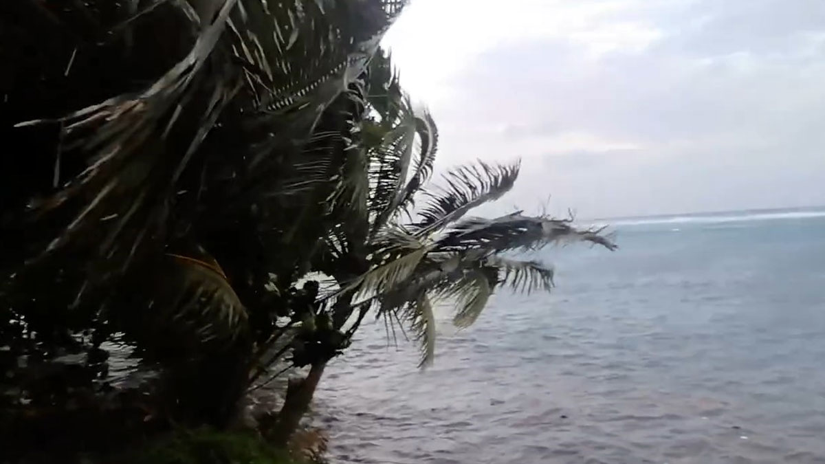
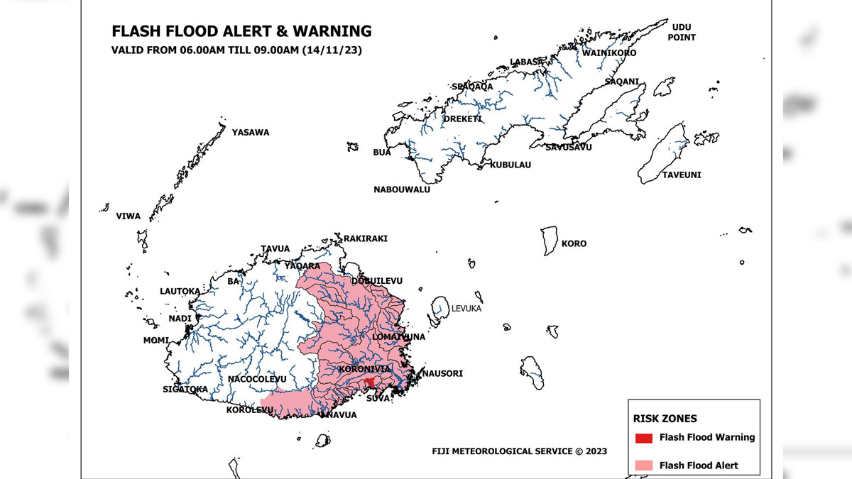
A storm warning remains in force for Yasawa and Mamanuca Groups, Western and Northern Viti Levu and is now in force for Southern Viti Levu, Vatulele, Kadavu and nearby smaller islands.
A gale warning remains in force for Rotuma, western half of Vanua Levu [Dreketi, Bua to Savusavu], Eastern Viti Levu and Lomaiviti group.
A strong wind warning remains in force for the rest of Fiji.
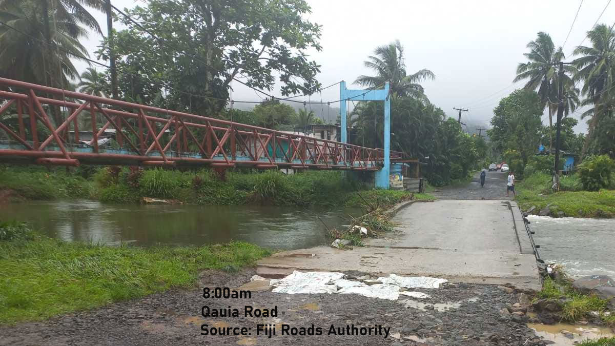
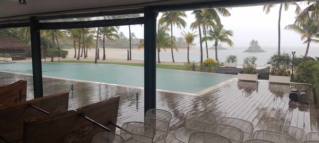
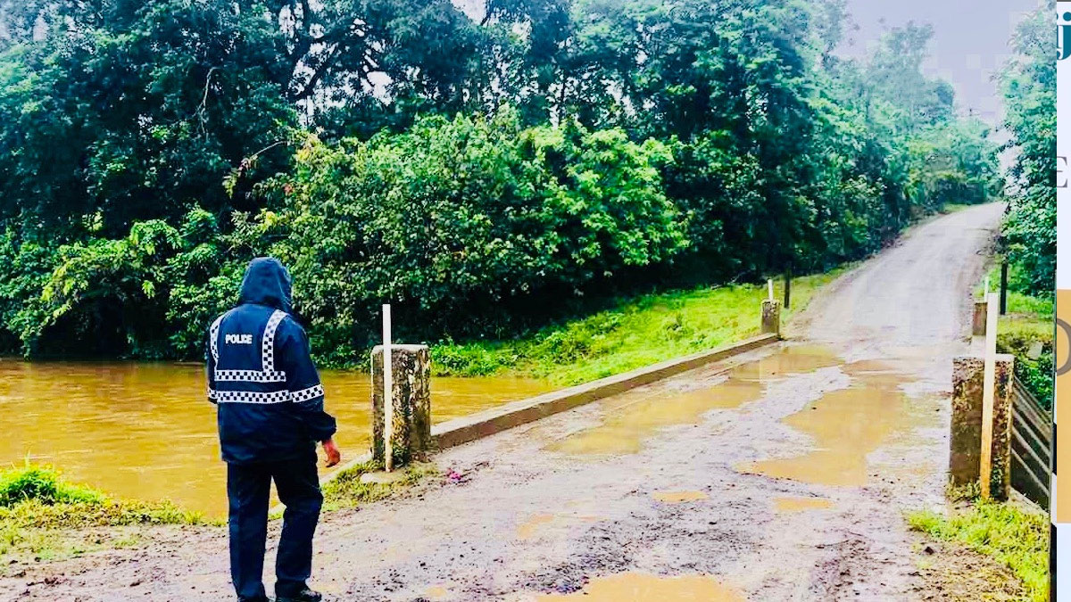
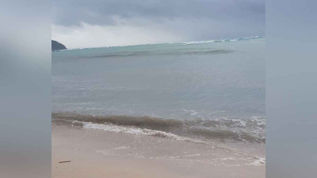
A heavy rain warning remains in force for the whole of Fiji.
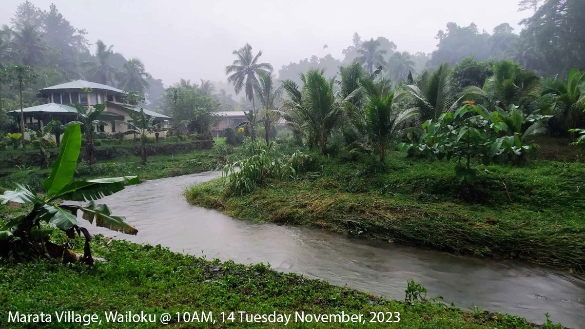
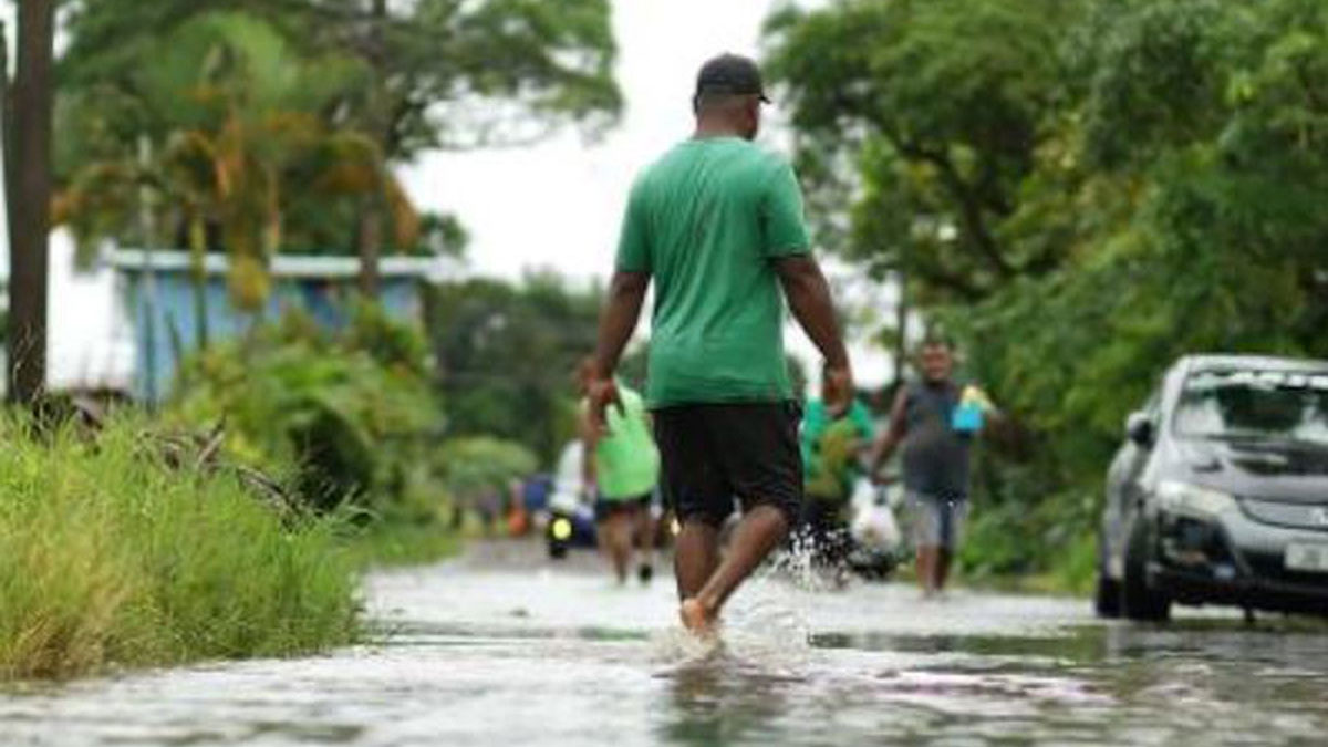
The possible impacts due to heavy rain include localised flooding of susceptible communities, businesses and low lying areas, localised flooding of minor roads, Irish crossings and bridges with some disruption to traffic flow, poor visibility at land and sea with increased risk of motor vehicle accidents due to slippery roads.
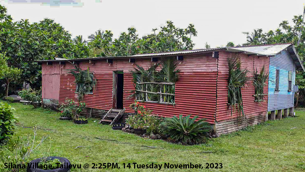
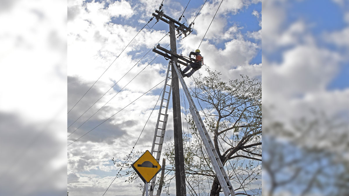
The possible impacts due to the expected tropical cyclone include significant damage to houses of very light materials and old Galvanized iron roofs blown off, risk of disruption in communication network and power supply due to damaged power lines, most plants and crops can be damaged, damages and flooding of roads, settlements, properties and infrastructure near streams and river banks.