![Threat Track Map as at 7:40am Saturday 7th April 2018 [met.gov.fj]](https://www.fijivillage.com/news_images/7029404865ac7f4fab3bbf14447c5d.jpg)
The Nadi Weather Office has confirmed that a Tropical Depression remains slow moving and was located about 690km West North-West of Nadi at about 9 this morning.
The Weather Office says it is expected to intensify further into a Tropical Cyclone and is expected to affect Fiji from later tomorrow.
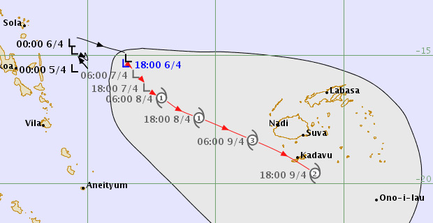
Threat Track Map as at 7:40am Saturday 7th April [met.gov.fj]
A strong wind warning remains in force for all land areas of Western Viti Levu including areas from Sigatoka to Rakiraki, Yasawa and Mamanuca group, Vanua Levu, Taveuni and nearby smaller islands and Northern Lau Group.
Please note that with more rain forecast and soil being saturated, there is a high risk of severe river flooding especially in the Western Division.
The approaching system has the potential to produce more than 120mm of rainfall in 24 hours this weekend.
As the system moves closer to the Group, expect periods of heavy rain and thunderstorms with rough to very rough seas in the weekend and could even increase to high seas.
Damaging heavy swells is also expected with high risk of severe river flooding.
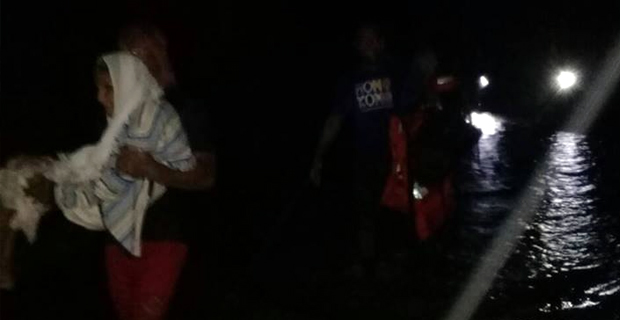
People living in flood-prone and low lying areas are reminded to take all necessary precautions and remain alert and to keep listening to us for latest weather updates.
The Weather Office will continue monitoring the situation closely and any alert and warning will be issued as and when necessary.
You can check out the track maps, satellite images and graphic projections on our website, fijivillage.com.
Stay with us for the latest on the weather updates.